LiDAR
- Home
- Technology
- LiDAR
LiDAR (Light Detection & Ranging)
LiDAR (short for Light Detection and Ranging) uses light in the form of a pulsed laser to measure ranges (variable distances) to the Earth. LiDAR targets an area with a laser and measures the time for the reflected light to return to the receiver. The light pulses help to generate precise, three-dimensional information about the shape of the inspected area and its surface characteristics. The result is the ability to produce accurate, detailed surface models quickly. Kîsik’s LiDAR system has the capability to simultaneously collect point cloud data and RGB data in the most advanced integrated LiDAR on the market today. We have chosen the Riegl sensor as our LiDAR technology platform. Although this is the most expensive LiDAR on the market today, we believe that there is no substitute for providing our clients with the highest accuracy and resolution for their projects.
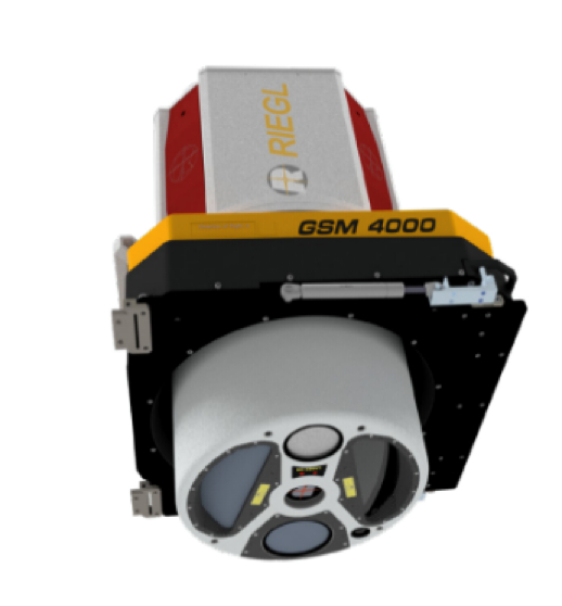
Kîsik owns and operates three (3) Riegl VQ1560ii-S LiDAR sensors. Using the highest productivity LiDAR systems on the market today and combining it with our in-house aerial acquisition and production capabilities you can ensure your project will be completed on time regardless of your project size.
Riegl VQ-1560ii-S with integrated Phase One iXM RS150
Kîsik owns and operates three (3) Riegl VQ-1560ii-S LiDAR platforms. A dual waveform scanning system, the VQ-1560ii-S provides the highest productivity based on a laser pulse repetition rate of up to 4 MHz, offering more than 2.66 million measurements per second on the ground.
- High efficiency – 4 MHz sensor capable of 2.66 million measurements per second and unlimited returns per laser pulse
- Co-acquired imagery, 150-megapixel integrated RGB camera
- Can achieve accuracies of 2” (< 5 cm RMSE) or better.
- High density offers 40 ppsm and 1 km swath when flown at 3,000 ft AGL
- Small footprint and short pulse duration for accurate modeling of small scale features.