Edit Content
Geospatial Solutions for our changing world

Urban Planning & Development

Airborne LiDAR is a cutting-edge technology for mapping objects on the Earth’s surface, which is very beneficial for urban mapping.
Accurate and timely 3D spatial information about buildings in urban areas is needed as the basis to assist decision-making in understanding, managing, and planning the continuously changing environment. Airborne LiDAR can produce a 3D City Model that provides useful data for several applications in urban planning.
Urban vegetation mapping
LiDAR explicitly measures the location of trees in three dimensions and therefore has the potential to generate more accurate measurements of the proportion and spatial distribution of tree canopy coverage across urban landscapes. This survey technology and the information derived from it have become critical assets for strategic environmental planning within local government organizations .
Building height / footprint extraction
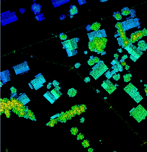
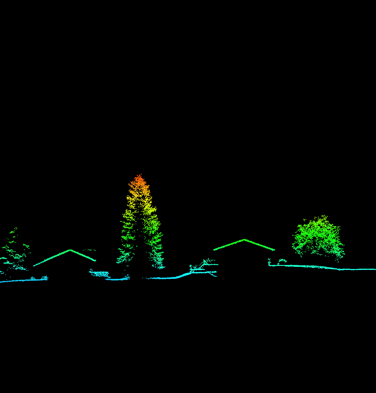
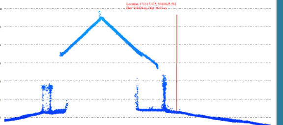
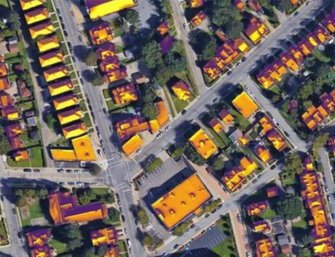
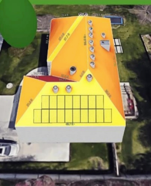
LiDAR technology is a powerful remote sensing tool that is increasingly being used for various applications, including building height extraction. Building height is a critical parameter for urban planning, infrastructure design, and disaster management. LiDAR data can be used to accurately estimate building heights and derive important parameters such as building volumes, roof shapes, and more.
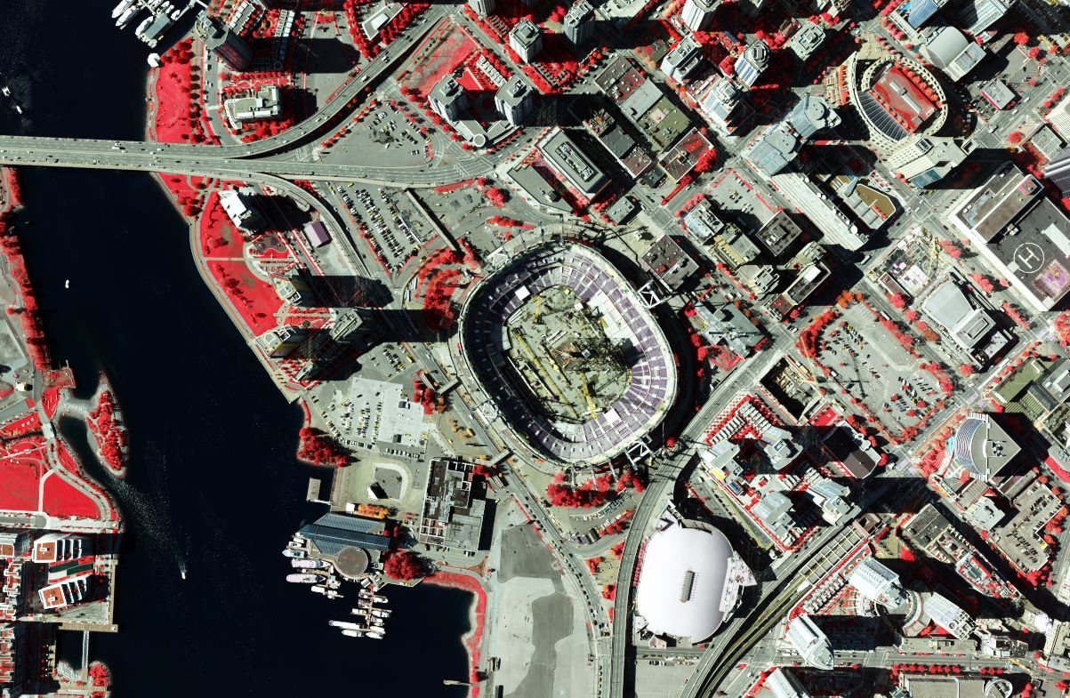
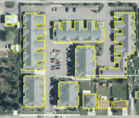
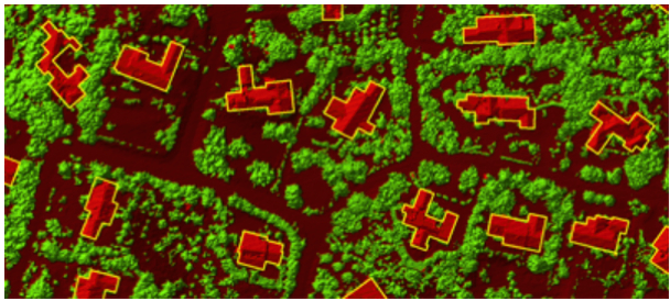
Building footprints can be used for a variety of applications, such as urban planning, infrastructure development, and disaster response. For example, the footprints can be used to estimate the population density of an area or to identify areas that are at risk of flooding. The identification and extraction of urban footprint has become an important research topic and tool in city planning, transportation planning, urban simulation, 3D city modelling, and building change detection.
Solar Potential study
Kîsik utilizes LiDAR technology to map potential solar panel locations, predict amount of energy generated, and provide an optimal plan for solar panel installation.
3D city Model
3D city models are essential in urban areas for many applications, including disaster management, building mapping and height estimation, simulation of new structures, updating and maintaining cadastral data, change detection, and virtual reality. Kîsik utilizes high point density LiDAR data and orthophoto data to create 3D city models
Urban infrastructure assessment
Airborne LiDAR can be used to assess the condition and performance of urban infrastructure, such as bridges, roads, and buildings. This information can be used to prioritize maintenance and repair activities and reduce the risk of failure.
Land use /Land cover (at parcel level)
Accurate and timely land use and land cover (LULC) maps are important for urban monitoring studies, resource management, and planning activities. High spatial and spectral information data is required for LULC cover maps at the parcel level. Kîsik provides airborne hyperspectral imagery data with very high spatial and spectral information, which has great potential for use in LULC mapping at the parcel level.