Edit Content
Geospatial Solutions for our changing world

Pipeline

Airborne LiDAR technology has a wide range of applications in the oil and gas industry, including pipeline inspection and monitoring.
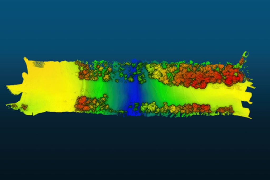
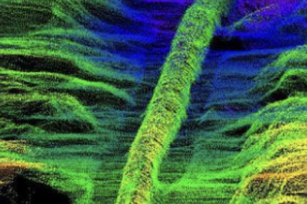
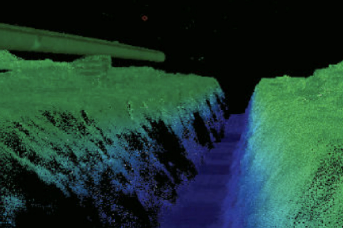
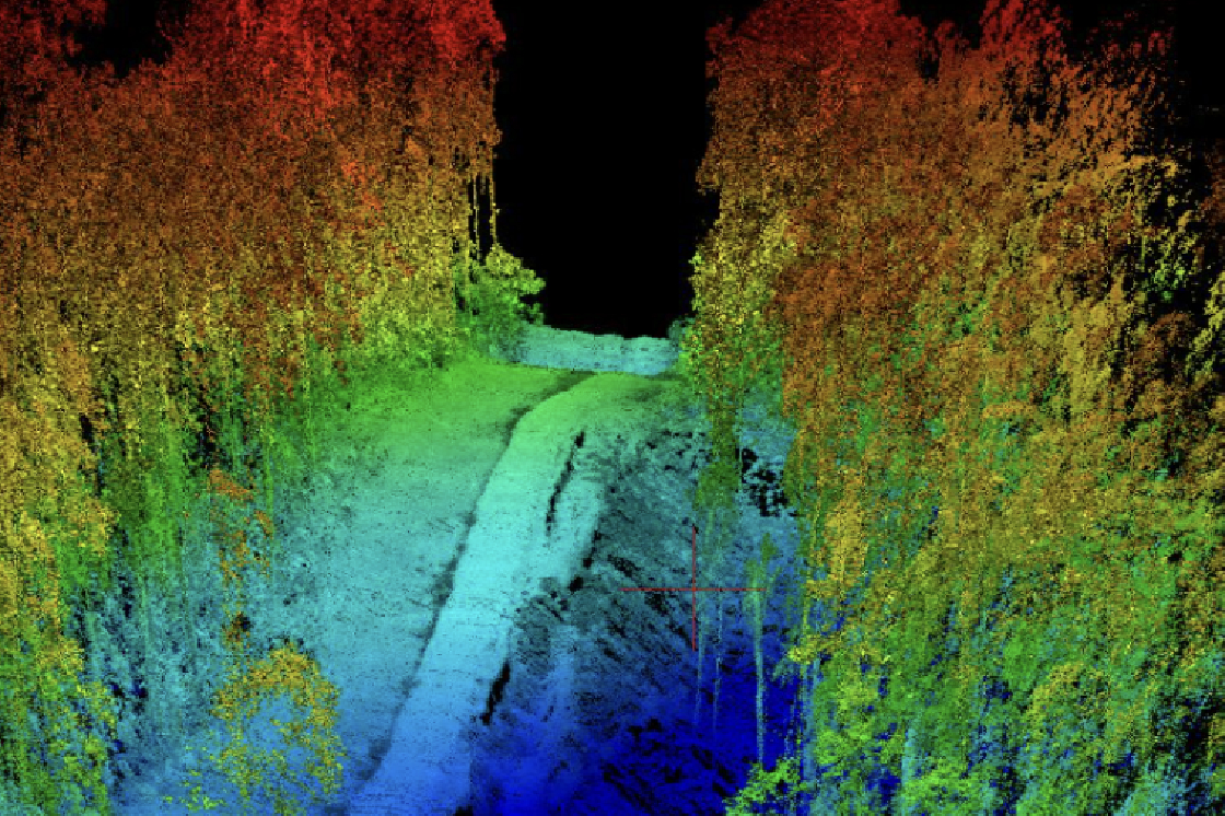
By using LiDAR data, it is possible to accurately measure the elevation and location of pipelines, which can help identify potential problems and prevent leaks. LiDAR can also be used to create highly detailed maps of the pipeline corridor and surrounding terrain, which can aid in planning, design, and emergency response. Additionally, LiDAR can be used to detect encroachments on the pipeline right-of-way, such as trees or buildings, which can help prevent damage to the pipeline and ensure safe operation. Kîsik provides very high accurate LiDAR data and high-resolution imagery for pipeline feasibility study, design and optimization cost and time.
Typical Use Cases
Pipeline Route Selection and Optimization
Airborne LiDAR technology has emerged as a powerful tool for pipeline route selection and optimization. LiDAR can provide highly accurate and detailed information on the terrain, including elevation, slope, and vegetation cover. This data can be used to identify potential route options and assess their feasibility.
Pipeline mapping

LiDAR can help improve the safety and efficiency of pipeline operations by providing detailed information on the terrain and potential hazards. By using LiDAR data to monitor and maintain pipeline infrastructure, operators can reduce the risk of spills or leaks and ensure the continued safe and reliable operation of the pipeline

Construction / Pre-Construction Surveys