Edit Content
Geospatial Solutions for our changing world

Mining

Airborne LiDAR data can provide high accuracy horizontal and vertical ground information form of 3D point clouds.

3D mapping services for mining industries and quarries. Providing instant measurement volume for stockpile inventory and surface, safe survey, 3D modeling of site, risk analysis, aerial surveying of the area, Track progress, and more.

We provide very high point density data to allow proper planning and decision making – providing precise inventory information, accurate pit models and contour maps.
Through our GIS services, we provide expertise and consultation on acquisition technology, specifications, accuracy and resolution, and data products for your specific application.

Typical Use Cases

Volumetric analysis

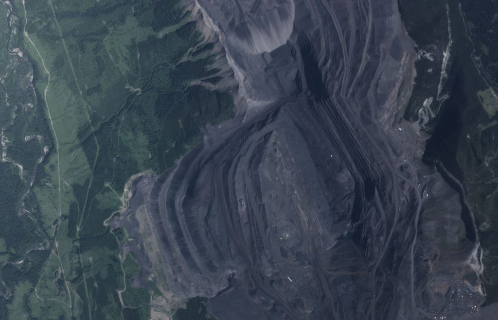
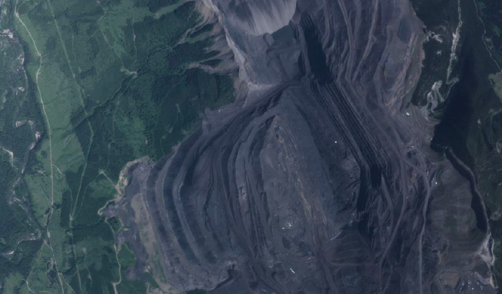
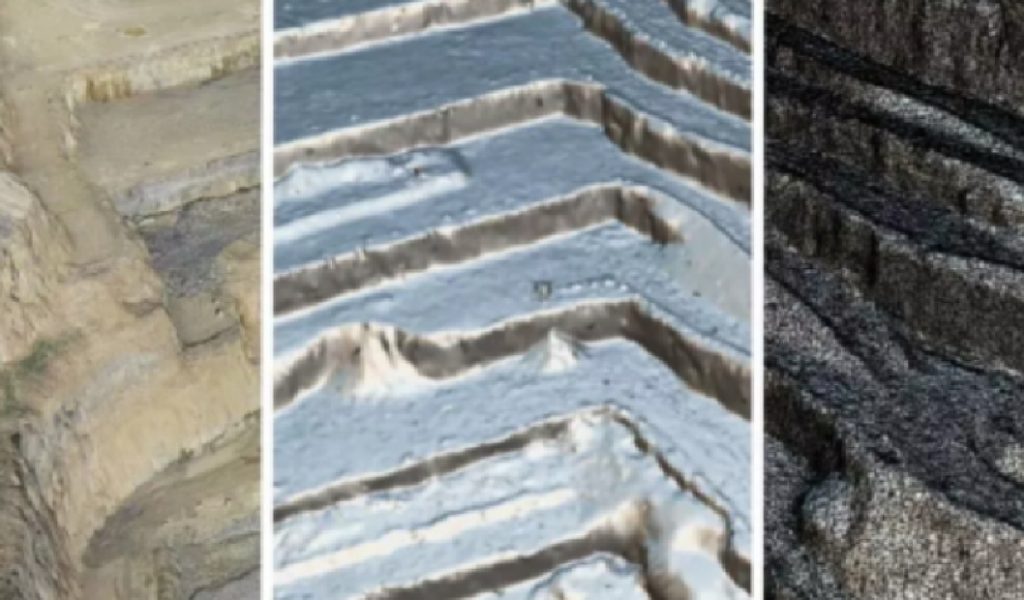
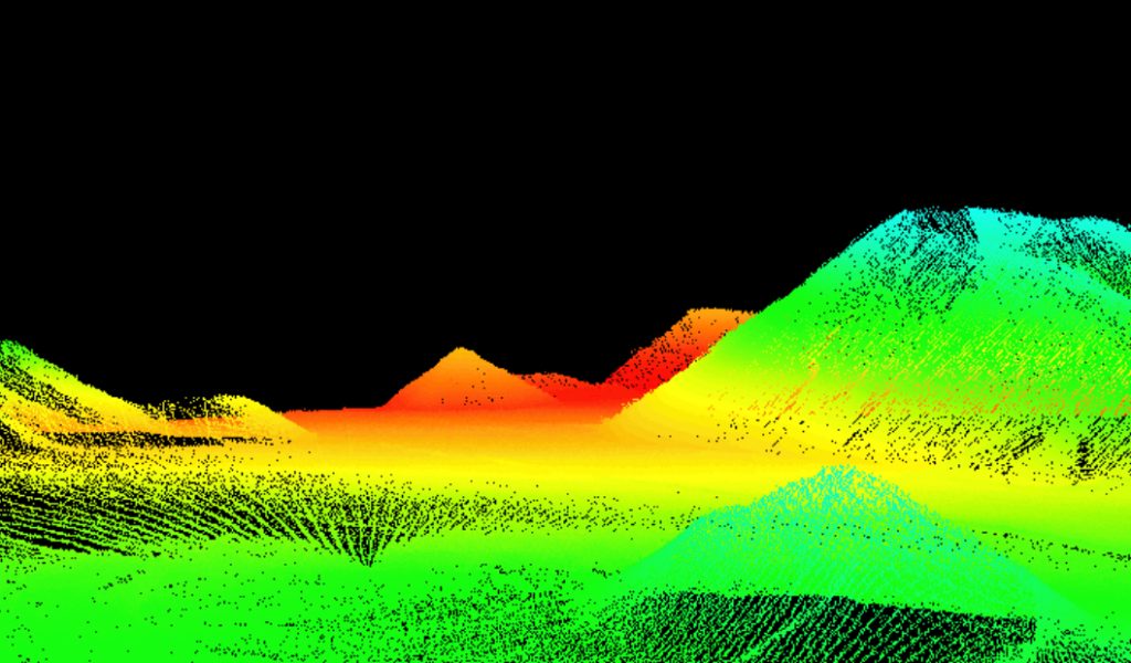
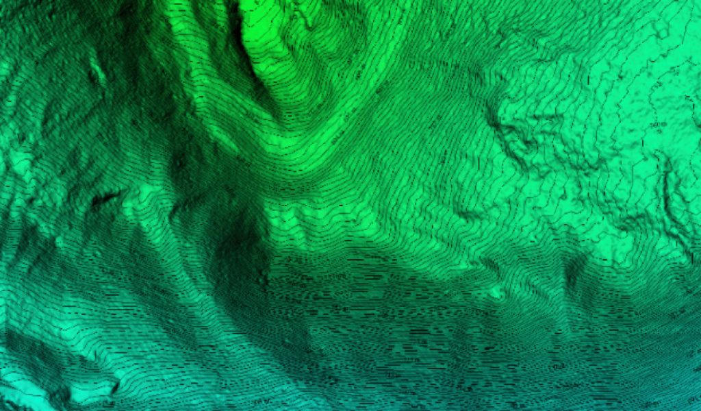
In mining operations, volume is an important factor. Volumetric analysis within a point cloud setting is the process of using the point cloud to compute the volume of material. By using LiDAR technology, open pit and stockpile models can be produced in a timely manner and with precise results, providing high resolution and high accuracy calculations with a high degree of confidence.

Contour map

Slope and terrain analysis

Environmental impact assessment analysis

Estimation of mineral reserve

Exploration

Engineering & Construction

Enhances mine infrastructure design, such as access roads and railways