Edit Content
Geospatial Solutions for our changing world

Forestry management

Forestry management
Hyperspectral imaging can be used for Forest health monitoring and detecting water levels in trees, plants and crops include:
  • Analysis of: Crop-Water Stress Index (CWSI), Normalised Difference Vegetation Index (NDVI), Carbon/ Nitrogen ratios (CN), Leaf Area Index (LAI) and Soil Adjusted Vegetation Index (SAVI).
  • Generates spectral signatures of plant properties which act as “spectral fingerprints” that are unique to the plant’s physiology, health and speciation.
  • Develops high-quality data which provides plans for optimum planting, watering, fertilization and more
Carbon and Biomass Estimation
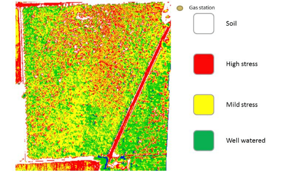
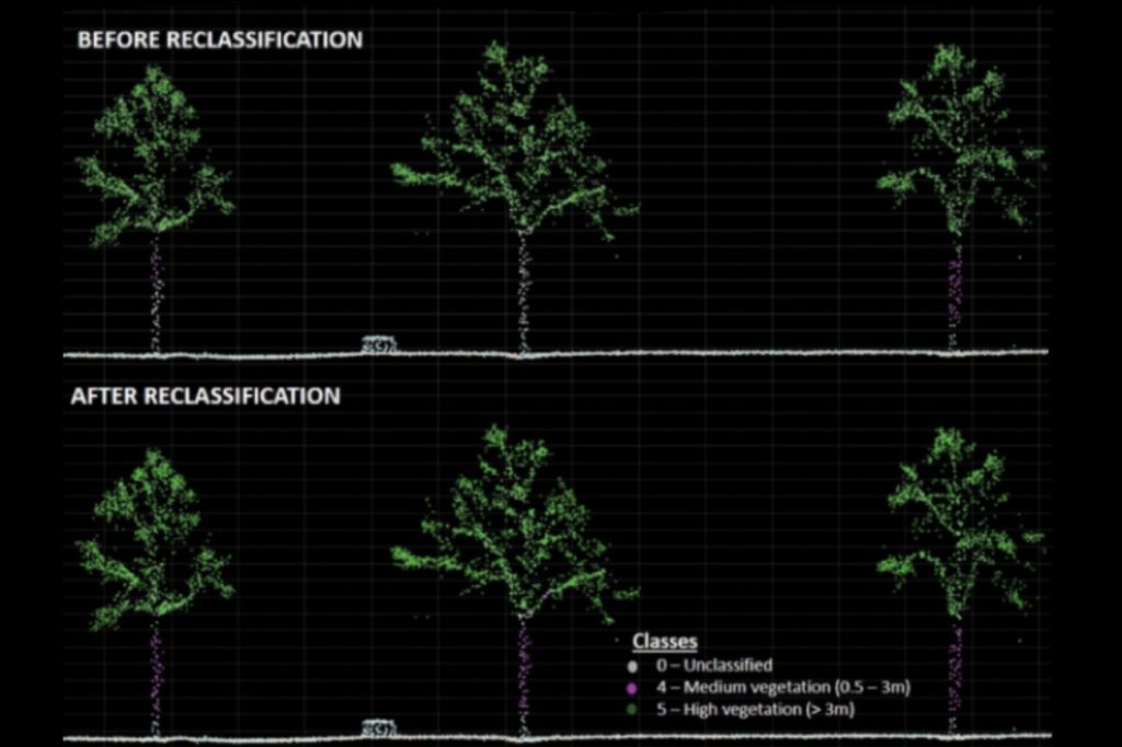
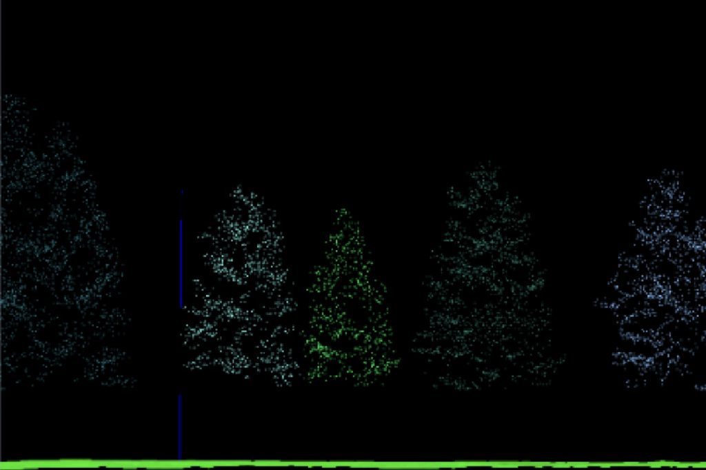
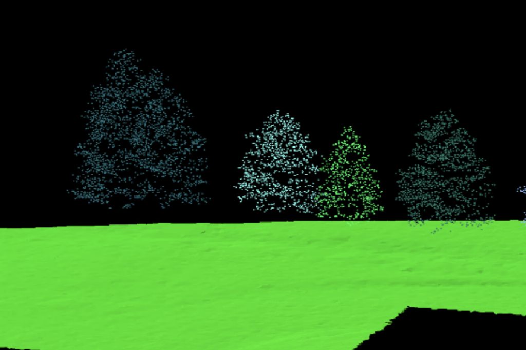
LiDAR is powerful tools for estimating carbon and biomass in forest. It provides detailed information on the vertical structure of the forest canopy and can be used to estimate changes over time. LiDAR data can be combined with other data sources, such as field measurements and satellite imagery, to provide a more comprehensive understanding of carbon and biomass dynamics in forests.
Extract Forest Metrics and Individual Tree Attributes
Illustrate the forest or terrain in realistic detail
Deforestation