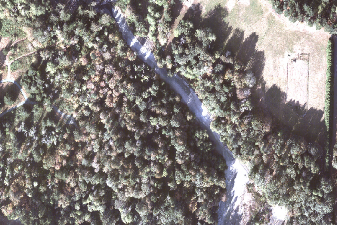
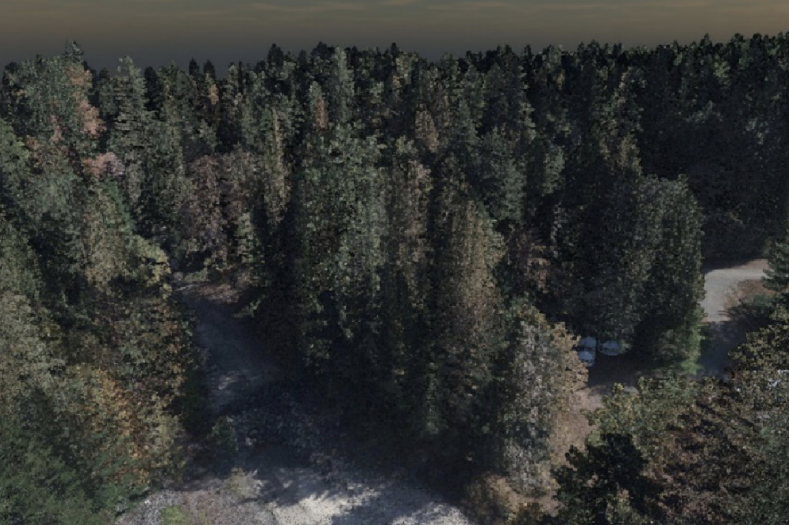
Kîsik has developed a unique suite of analytics using lidar point cloud, hyperspectral or imagery collection to provide essential forest information over large areas thus reducing the amount of time and resources typically dedicated to a traditional field-based inventory.
Our deliverables provide valuable metrics such as tree height, stem density, canopy cover and crown area. Incorporating these modeled parameters guide timber management practices, supports habitat conservation efforts, and improves efficiency of ground surveys. Through our forestry GIS services, we provide expertise and consultation on acquisition technology, specifications, accuracy and resolution, and data products for your specific application. Our experience and expertise will help match the best technological solution to your forestry mapping requirements.