Railway
- Home
- Solutions
- Engineering & Construction
- Railway
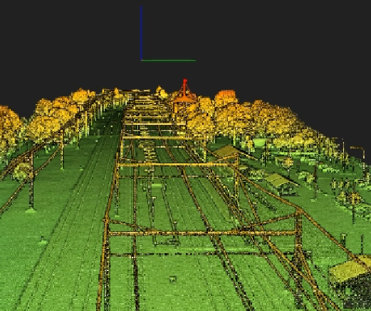
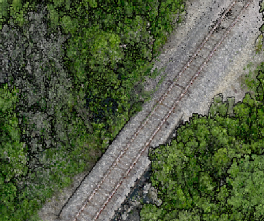
Tree, shrub, and plant management along the railway is critical for any network provider.
The problem for train firms is determining the risk of this covering from both an environmental and an economic standpoint. The fall foliage diminishes train grip and causes signaling system operating challenges. Low adhesion caused by poor rail head conditions can have a variety of implications on train performance and punctuality. Passengers may face service interruptions such as delays, last-minute modifications, or even cancellations as a result. Overgrown trees and bushes may conceal signals if not pruned.
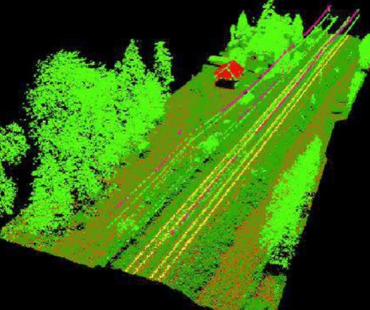
Accurate topographical data: Airborne LiDAR technology can provide highly accurate and detailed topographical data of the railway corridor, including the terrain and any structures or obstacles along the way. This information can be used for route planning, maintenance, and construction.
Cost-effective: Compared to traditional surveying methods, LiDAR technology can be a cost-effective solution for collecting accurate topographical data over large areas, reducing the time and resources required for manual surveys.
Faster data collection: Airborne LiDAR can cover large areas quickly, collecting data at a much faster rate than traditional surveying methods. This allows for faster decision-making and more efficient railway operations.
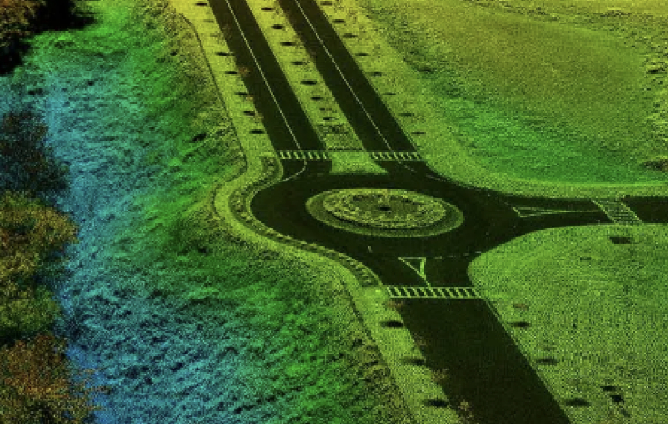
(LiDAR) surveying technology plays an important role in road design, and it is increasingly implemented in the design stage.