Edit Content
Geospatial Solutions for our changing world

Hydroelectric Dam survey

Kîsik provides high-quality topographic data (cm-level ranging accuracy) and high-resolution digital imagery while minimizing survey time and cost for dam and hydropower projects. LiDAR helps in feasibility studies, design and maintenance and emergency planning.
LiDAR can provide highly accurate and detailed elevation data of the dam and its surrounding area. This can help engineers and planners to better understand the site conditions and identify potential risks, such as areas of erosion or unstable ground.
Calculating capacity of the water reservoir
LiDAR can provide accurate measurements of the volume and shape of the reservoir behind the dam, as well as the height of the water level. This information can be used to optimize dam operations and manage water resources more effectively.
Slope map
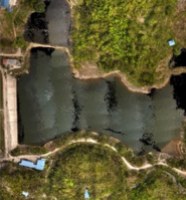
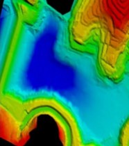
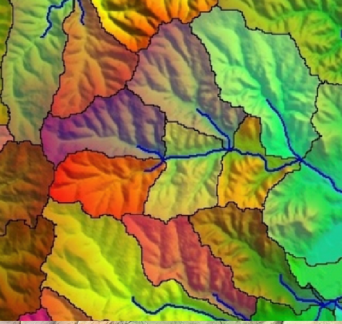
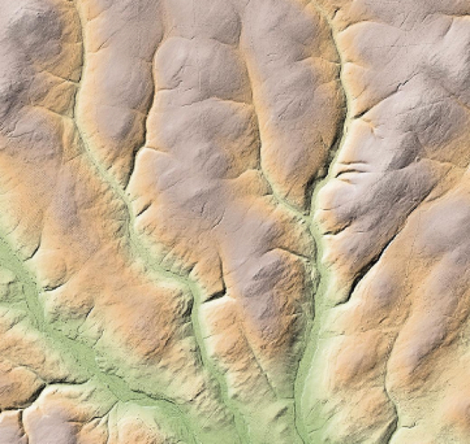
Slope maps created using airborne LiDAR are useful in many applications, including terrain analysis, land management, geology, agriculture, and forestry. They can be used to identify areas that are prone to erosion, landslides, or flooding, to plan construction projects, and to locate potential sites for renewable energy projects, such as wind or solar farms. With the increasing availability of LiDAR data and software, slope maps have become an important tool for understanding and managing the Earth’s surface.
Optimize dam infrastructure design
Airborne LiDAR can help engineers determine the optimal location, size, and design of a dam by providing detailed information on the slope and elevation of the terrain. LiDAR data can identify stable areas for the dam and those with higher risks of landslides or erosion, leading to improved safety, efficiency, and cost-effectiveness. Accurate data on the terrain and hydrology of a site ensures that dam infrastructure is designed to meet the specific needs of a given location.
Drainage analysis
One of the key advantages of using airborne LiDAR for drainage analysis is its ability to provide highly accurate and detailed data, even in areas with dense vegetation or rugged terrain. This can help identify subtle changes in slope and elevation that may impact water flow patterns.
The use of airborne LiDAR for drainage analysis is a powerful tool for understanding and managing water resources. Its high-resolution data can provide valuable insights for a range of applications, from environmental management to urban planning and infrastructure design.