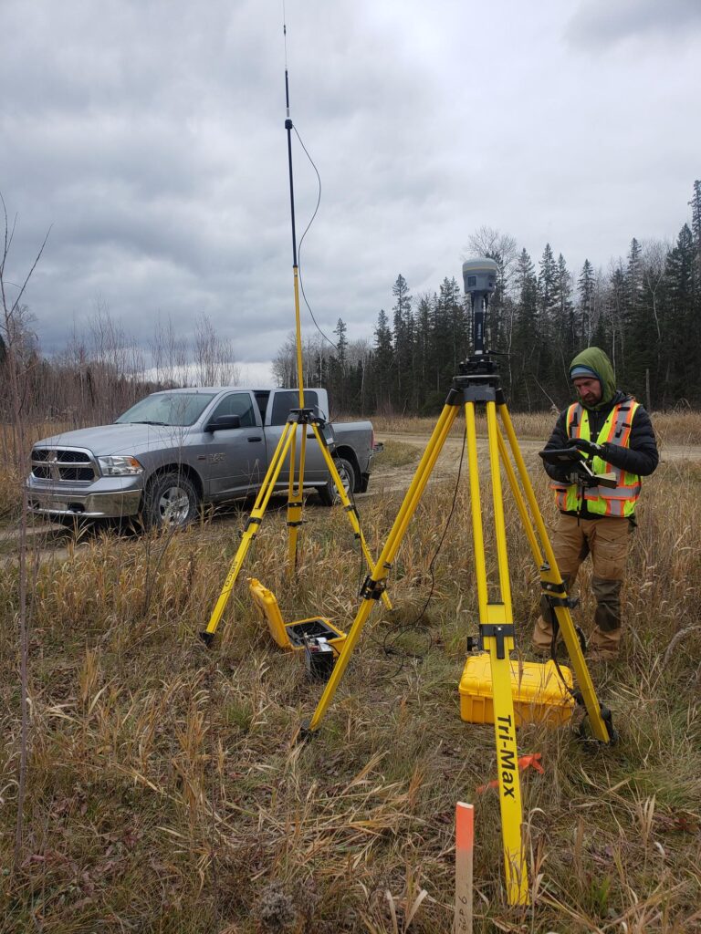
Our Ground Control Team evaluates each AOI and specifications of the project to develop a cost-effective ground survey.
Each survey is designed for both LiDAR and Photo Imagery ground control. Ground Control Points (GCPs) will be collected using state-of-the-art equipment and technology to provide you with precise and detailed surveys. We are proud to state that our GPS accuracy exceeds the minimum requirements for any type of project. Our advanced GPS technology and experienced team of surveyors ensure that we provide accurate and reliable data for your project needs. You can trust us to deliver precise measurements and detailed mapping, meeting, or exceeding industry standard. Our surveys are conducted efficiently and with the utmost care for the environment, ensuring minimal disruption to the site.
We take pride in our exceptional customer service and work closely with our clients to understand their unique needs and requirements.