Aerial Photography and Aerial Photogrammetry
Orthoimagery has an extremely broad range of applications, particularly when collected with state-of-the-art digital systems. Our large format camera collects high-resolution panchromatic, R, G, B and NIR information at 450 Megapixels. We also fuse orthoimagery with lidar data to extend visual interpretation and spatial analysis to the end user. Overall, through the use of aerial photogrammetry and aerial photography, we provide reliable geospatial analysis to our clients using advanced orthoimagery.
Orthoimagery
An orthophoto is an image that accurately represents the surface of the earth after correcting for camera distortions and terrain elevation changes. We offer both natural and 4-band orthorectified imagery, which is produced through a process that corrects for many artifacts related to remotely sensed imagery to produce a map-accurate orthoimage. Our high-resolution imagery is collected using state-of-the-art digital systems and can be customized to different pixel resolutions and scales. This allows us to support precision aerial photography and photogrammetry, as well as advanced analytics through data fusion with other remote sensing technologies such as lidar.
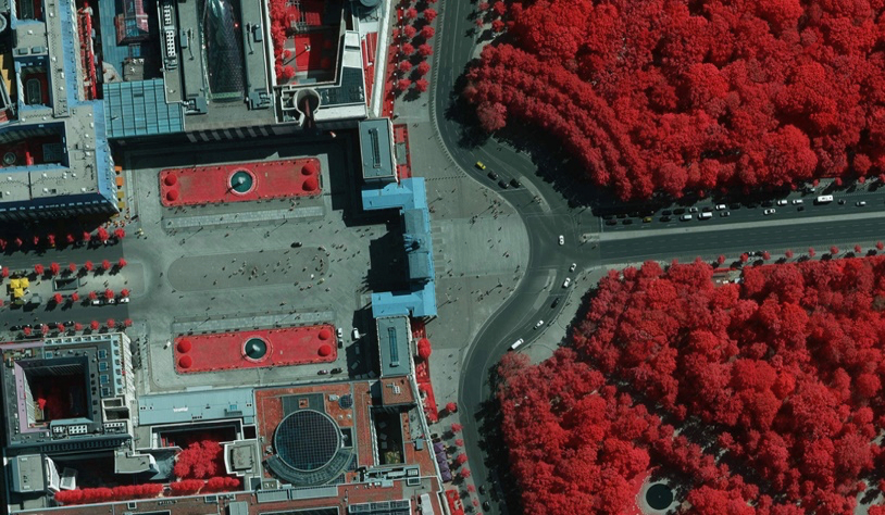
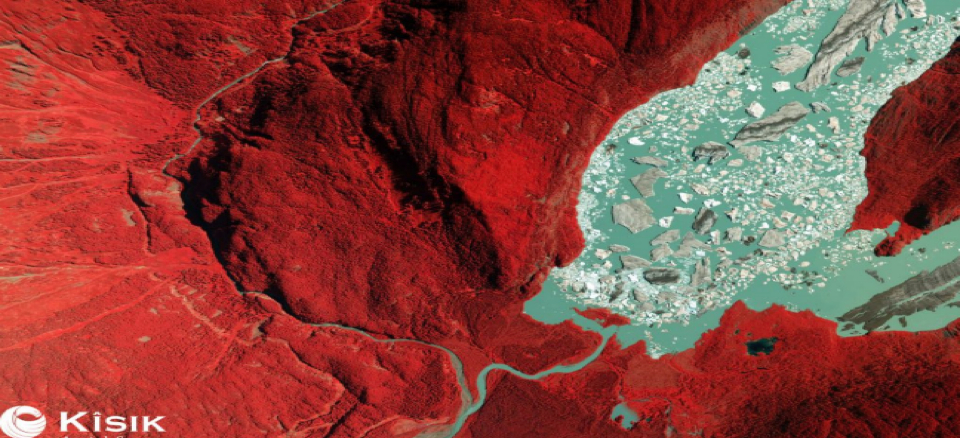
Color- Infrared (CIR)imagery
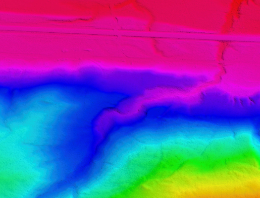
A first return surface includes tree canopy and buildings and is referred to as a digital surface model (DSM).
CIR imagery is also good for:
- Identifying plant species
- estimating biomass of vegetation
- assessing soil moisture
- Impervious surface mapping
- assessing water clarity (i.e., turbidity)
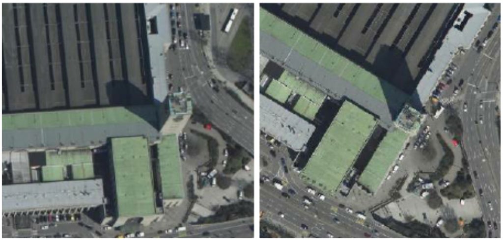
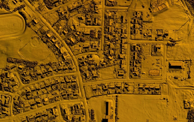
True Orthophoto
The benefit of the true orthophoto compared to a classic orthophoto is that objects outstand from the terrain, such as buildings, are not displayed tilted in the image. This avoids the creation of obscured parts.
True Orthophoto gives a vertical view of the earth’s surface, eliminating building tilting and allowing a view of nearly any point on the ground.
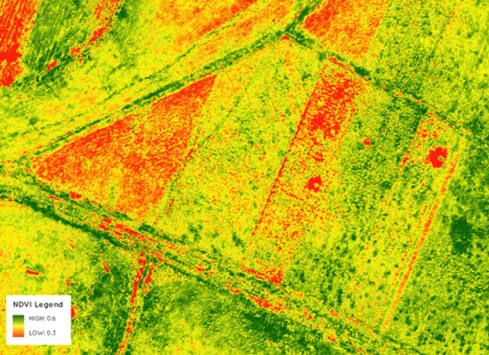
Normalized Difference Vegetation Index
NDVI measures “greenness” and healthy vegetation. In general, NDVI uses two properties to quantify healthy vegetation. It uses near-infrared (NIR) because vegetation strongly reflects it. And it also uses red light, because plants strongly absorb it.
Kîsik camera spectral resolution able us to create NDVI image which is calculated with the following expression: NDVI = (NIR-Red) / (NIR+Red), where NIR is near-infrared light and Red is visible red light.