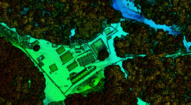
Lidar
Lidar provides a fast and cost-effective method for producing digital elevation models (DEMs), including reflective surface DEMs from first returns ...
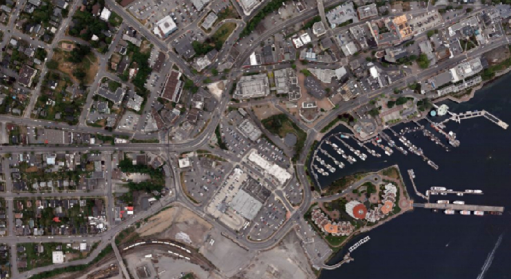
Aerial Photography & Aerial Photogrammetry
Orthoimagery has an extremely broad range of applications, particularly when collected with state-of-the-art digital systems. Our large format camera collects high-resolution panchromatic, R, G, B and NIR information at 450 Megapixels
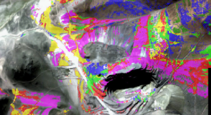
Hyperspectral
The data that Kisik produces from full spectrum VNIR + SWIR has a very high spatial and spectral resolution, making it suitable for a variety of uses, including geological and geothermal exploration, fire and flood risk analyses, vegetation health assessments, forest inventory, and environmental monitoring.